Joshua Tree National Park, CA
N. exclaimed, “This is the most disappointing national park so far…”
Although it escapes me at the moment, I must have had very good reasons for making reservations at the campground at the Joshua Tree National Park that is the farthest away from the main attractions of park itself. I vaguely remember reading something about raucous young people from LA camping on weekends, with their music and alcohol. If so, I have succeeded stupendously in avoiding those miscreants: from our campground, we had to drive more than 20 miles to reach even the first lookout point.
The road north carved gentle curves on the hills, so our van glided smoothly without the accelerator or brakes. That gave us time to focus on the views of the Colorado Desert: vast, seemingly empty plains that eventually met at the bases of the Hexie and Pinto Mountains. To our untrained eyes, there seemed to be absolutely nothing in the desert basin: everything looked rocky and barren, with nothing that could possibly sustain life.
On the drive, N. grumbled that this had to be the most disappointing national park so far in our van life.
And yet.
There is something to seeing things in bulk, to seeing myriad plants of the same type in a vast field, perhaps because the point is being emphatically made that, yes, there is indeed life here. Our first natural exhibit was a garden of thousands of naturally growing cholla cacti. Signs warned visitors that the spines were painful and difficult to remove: we were warned not to touch them. It was easy to forget the admonishment. Even from a short distance away, the cholla tops — light green and fuzzy — looked innocuous and fluffy, almost like pastel green cotton candy.
We hopped on the car and continued driving. Looking at a map, we learned that we had crossed the border and left the Colorado Desert behind. Here was the Mojave Desert.
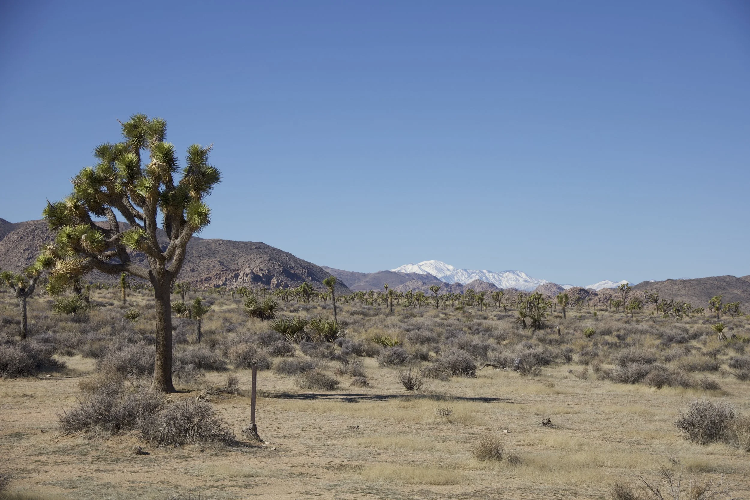
But one didn’t need a map to know that something in the air had changed: instead of ground cover and bushes, we saw tall, cartoonish Joshua Trees along with boulders and rock piles that looked as if a giant baby had forgotten to pick up his rocky blocks.
“OK, OK… I take back what I said earlier about the park…” N. could not stop snapping his camera.
We drove all the way to the Joshua Tree Visitors Center, not only to get a lay of the land but also to get cell signal — the Visitors Center was in town, outside the park’s boundaries. We were parked there for so long that at one point, when one of the rangers walked towards our car, I thought he was going to knock on the door and ask us why we were loitering. He didn’t.
So our “hike” today in the van: out-and-back, from the Cottonwood Campground to the Joshua Tree Visitors Center: 160 miles!
***
We realized that transit days or scenic drives were also tiring. Securing everything in the van, watching out for other cars on the road, sitting for hours on end — they were stressful in their own way.
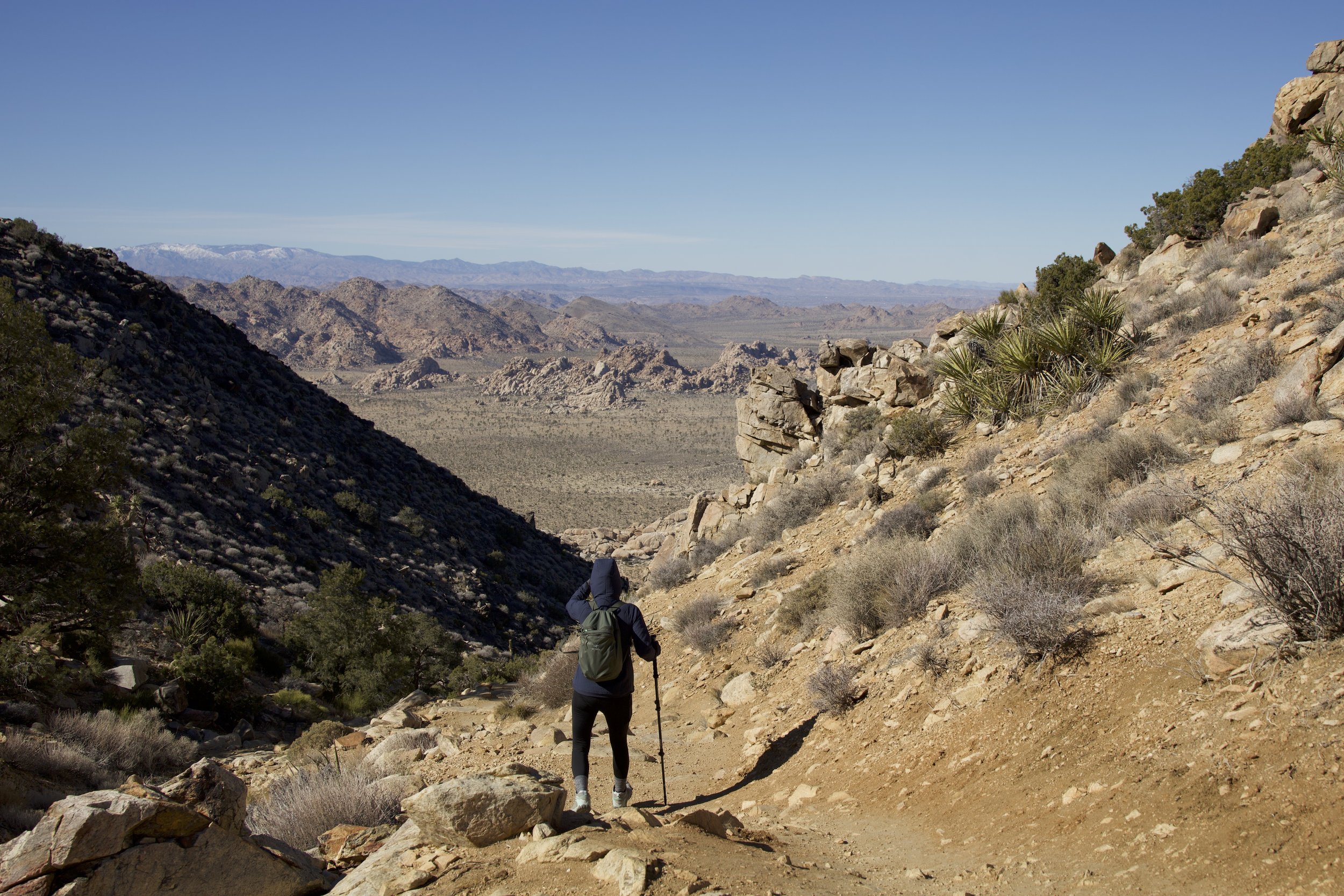
So to relax, we decided to do a short hike whose trailhead was near our campground, no securing of items required: Mastodon Peak (out-and-back, 4 miles).
Over the first hill we hiked and just as quickly we were surrounded by rocky terrain and desert brush. The novelty of the park was outmatched, on this hike, by the super impressive signs on this trail: arrows carved in metal plates, in strategic and helpful locations, some with maps of the routes and a star marking the “you are here” spot.
At the top of the trail, we found the Mastodon Mine. Signs indicated that a local family had attempted to work the mine but that the vein had been lost (no idea what that means). It’s sobering to realize the lengths that people will go through to extract something from the land beyond survival and subsistence. People came all the way up this mountain, brought supplies and animals, and expected to get rich by digging into rocks.
The views from the Mastodon Peak included a peakaboo of the Salton Lake Reservoir. That should have been the best reward of the hike. But wait! There was more! We reached for our phones to take selfies and realized that the bonus for hiking was cell signal — and not just any cell signal; 5G cell signal!
Losing signal within the park’s boundaries had been freeing in a sense — we were off the grid and no one could bug us. But it had also been disorienting: we could not get directions, check messages, or read the news. Now, at the top of Mastodon Peak, we forgot the views and began to do all of the above. Doing so was also, in its own way, freeing and disorienting: we had not missed much and the world went on about its business as usual — no one seemed to miss us.
We hiked the trail clockwise and at the very end we saw a strange sight: a stand of very large trees. Closer inspection revealed an oasis of massive fan palms. If they were a welcome sight after a hike of just four miles, I can only imagine how ancient peoples — and animals, then and now — would have felt at the sight!
Yet another example of life thriving in the desert.
As reviewers of the park mentioned, Saturday brought crowds of weekend warriors as campground neighbors. Some had arrived and set up complex equipment for astrophotography: multiple laptops, tripods, long lenses, red lights. I felt a bit sorry for them because right behind them was a very large group of campers, so avid that all of them — all of them at 9 pm! — were wearing bright headlamps and grilling something that smelled delicious. They reminded me of a scene in one of those alien-abduction-government-conspiracy cases that Mulder and Scully chased after in the X-Files. Their presence must have been a challenge for the astrophotographers who probably could not take good pictures of stars with alien-headlights bobbing in all directions.
***
Ryan Mountain (out-and-back, 2.9 miles) was accurately named: it’s a hike straight up the mountain to the summit, with an elevation gain of 1,062 feet in just one mile and a half. When asked why he wanted to reach the summit of Mount Everest, Sir Edmund Hilary supposedly responded, “Because it’s there.” Well, Ryan was here.
It was impossible to get lost on the trail because there were so many people hiking today — we simply had to look up and an almost continuous line of colorful puffer jackets could be seen bobbing upwards on the trail. At a certain point, one genial fellow looked at N. and commented, “Nice jacket!” — they were wearing exactly the same one. We also saw a photographer who had come up one quarter of the way up and seemed hesitant to venture any higher. We saw crazy hikers — young and old, since craziness can span all ages — hiking in shorts. We saw a family that must really, really like hiking since the mom guided her son — who looked to be about six years old — while the dad had a baby carrier strapped to his back — with the baby in it.
A few spots on the trail were too narrow for my taste and others were clearly eroding and really needed some TLC before they washed away completely. On the way up, I avoided looking backwards and staring at the sheer drop and thinking of the many different ways that one could slip and fall.
Reaching the top of Everest, oops, I mean, Ryan Mountain was exhilarating, making us feel big because we were at the summit but also small because we could see for miles. The wind that had me re-balance my steps on the way up was in full force at the summit and lots of hikers — ourselves included — snapped quick photos with the summit sign and headed back down. On the descent, we were mindful of the power of gravity.
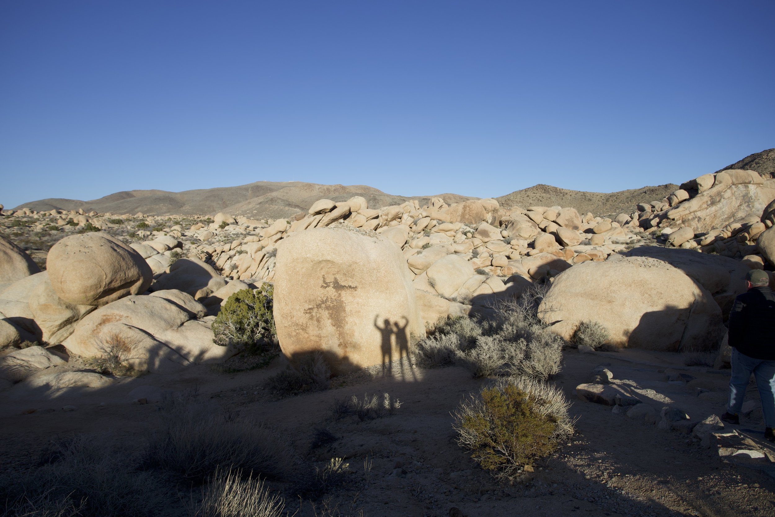
Comparatively, the hike to Barker Dam after lunch was akin to a stroll in a playground. It was easy to let one’s inner child get her ya-yas out: all the boulders seemed to be begging to be climbed. We didn’t stray too far from the trail, but I found lots of ways to pose for funny pictures.
Our brilliant idea for the end of the day was to drive to the park’s sign closest to our campground in that everlasting search for a cell signal. Eureka!
***
We drove yet again to the park’s main entrance sign by I-10: we needed to make some plans. At one point, there were four or five other cars lingering by the “Joshua Tree National Park: Department of the Interior, National Park Service” sign. I could tell that all of them were checking their phones before they entered the twilight zone because none of them got out to snap that “thumbs-up-I’m-at-a-national-park” picture for their social media accounts.
Lots of communications: appointments for telehealth visits, schedule for things to take care of during a trip back home, business calls. The most immediate concern was the email we received letting us know that our campground reservation at our next national park was cancelled. Phrases like “public safety concerns” and “massive sewage leak” jumped out. And so we adjusted and adapted and made do. I would like to think that doing so was our human version of what desert plants and animals do here every day.
Today our plan was for another drive on that very, very long Pinto Basin Road for the most popular rock formations in the northern part of the park.
The Skull Rock Trail (loop, 1.7 miles) was a bit underwhelming because it was more a nature trail than a hike. The loop basically paralleled the main road and although it led through some rock piles and formations, N. and I would have preferred a more substantial, challenging hike, away from the crowds. One did not have to work too hard to imagine how this particular rock formation got its name. (But during the hike, both N. and I pointed to different formations and used our imaginations: we saw a giant cradling a baby, a sad boxer with an ice pack on his cheek, an elephant, and a monkey.)
I was much more interested on how the rocks ended up with what I called “air bubbles” but no plaque explanations could be found. My best educated guess was that, as the rocks and magma churned upward from below, a mixture of different materials got lumped together, like chocolate chips in dough. Eventually, all this was brought to the surface and some material was more vulnerable to erosion than others, so the “chocolate chips” melted away and left just the dough. (When I get cell signal again, I will check if my theory is correct.)
Heart Rock and Arch Rock via the Arch Rock Trail (out-and-back, 1.7 miles) was a spiritual twin of the Skull Rock Trail: easy with a couple of “my-imagination-can-take-a-nap” formations. Only after we reached Heart Rock did we understand why there had been so many giggling young couples walking out of the trail.
Still, we felt a sense of victory for having completed both “hikes” because the weather was absolutely brutal: although it was sunny, the winds picked up enough to merit a “high wind advisory” that warned of winds at 30 to 40 mph, with possible gusts of 60 mph. Brrrrr! By the end of the day, I could hardly feel my ears and fingers.
They felt as cold and as hard as, well, rocks! (hehe)


