Death Valley National Park, CA (Part 1/2)
What’s in a name indeed… Sometimes, everything!
Our visit to Death Valley National Park began with an email cancelling our reservation to the national park’s campground just a couple of days before we were scheduled to arrive. Phrases such as “public health safety” and “massive sewage leak” jumped out. The adjective “massive” was extraneous: the phrase “sewage leak” was enough to stir the imagination.
We decided to take our chances with two campgrounds that were “first-come-first-served” within the park; there was no Plan C. For obsessive planners like us, the possibility of not having a place to park our van to sleep at night, well, kept us awake. (Hehe).
After a re-supply run at Trader Joe’s, we put pedal to the metal on I-15. Between the container trucks that seemed to outnumber cars combined with the sudden gusts of 45 mph winds near the San Bernardino National Forest, N. confessed that the driving conditions were worse than they had been when we were driving through western Texas — and that’s saying something. I was just barely holding my panic in check in the passenger seat, stress-sweating, so much that, at the risk of TMI, I stuffed tissues under my arms. Along the road, we were losing good cars and trucks by the minute: many inched along with their blinkers on while others gave up entirely and parked on emergency lanes to wait out the winds. N. white-knuckled us out of there and after about an hour on the Highway from Windy Hell, we were able to take in the scenery.
And what scenery!
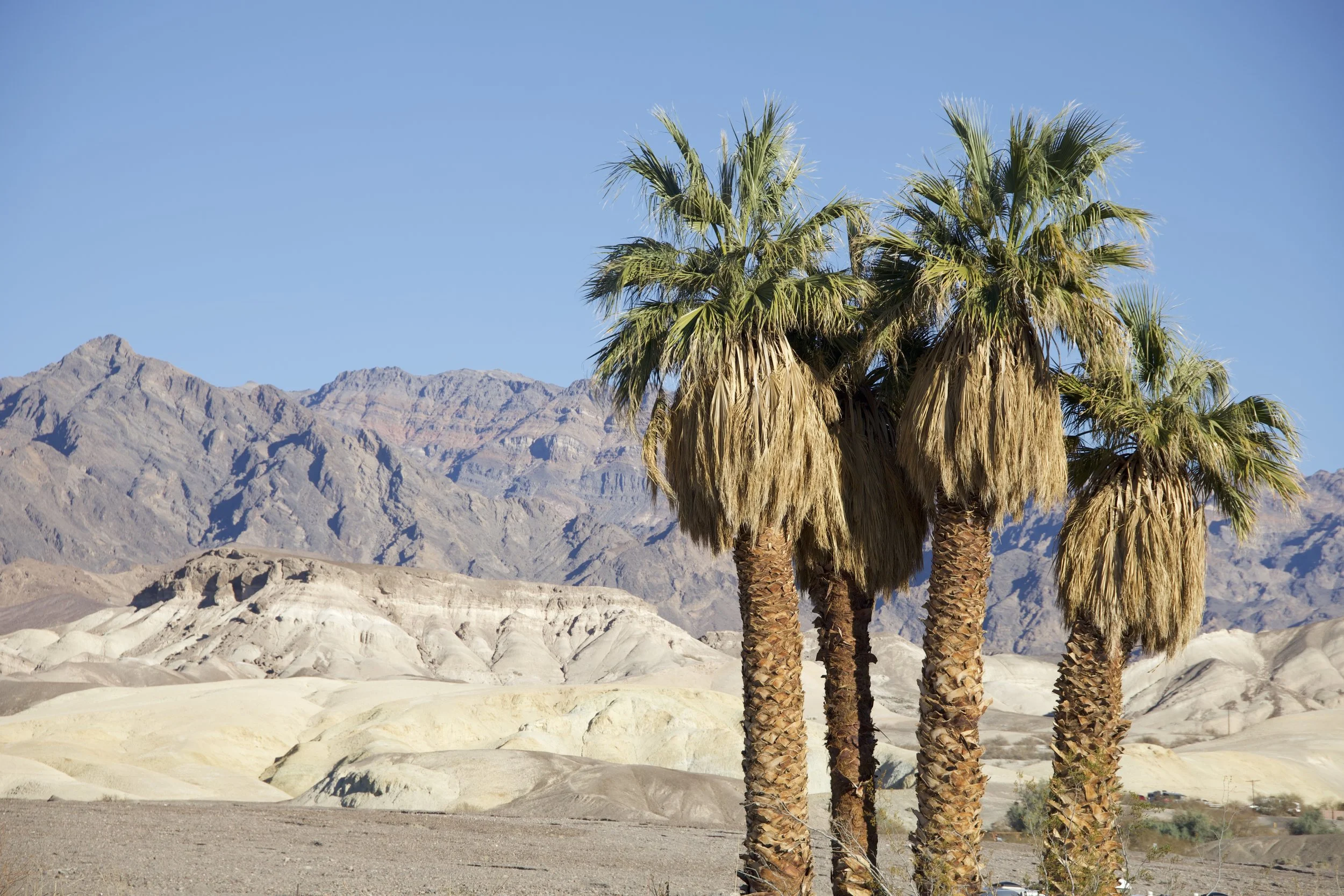
Brown desert — mountains and plains and power lines— as far as the eye could see, broken from time to time by the odd clusters of buildings that made up a tiny town, a junction with gas stations and fast food restaurants, or, bizarrely, an island of outlet stores.
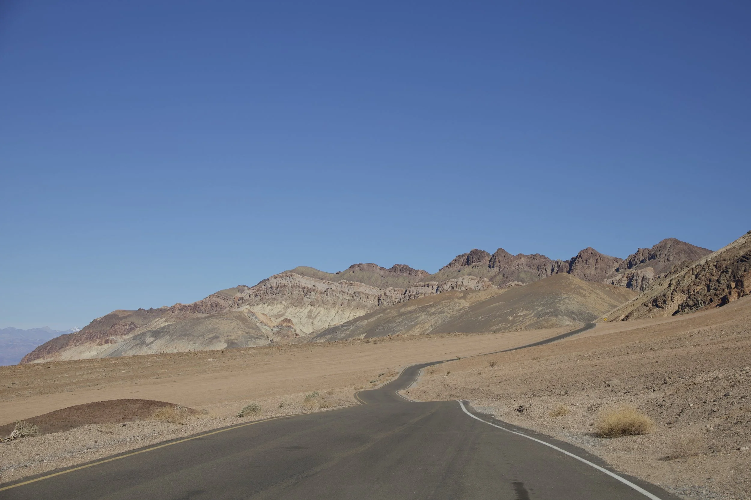
When we got off this highway and turned left onto C-190, we were presented with brown desert — mountains and plans and power lines — as far as the eye could see, this time unbroken by towns, gas stations, or outlet stores. Just brown desert interspersed by more brown desert.
By this point, I was driving and as we made progress on the “miles to destination”, I felt a weird sense of claustrophobia that I had not felt even while hiking down the Carlsbad Caverns. We still had more than 100 miles of desert to drive into — expansive desert, devoid of facilities, supplies, and seemingly people. My sense of panic led me to count emergency phone boxes by the side of the road: every time I saw one, I looked at our van’s odometer. At first it seemed they were spaced two miles apart. Then, N. would distract me with some comment or other, and I would lose count and start again.
As we approached Death Valley Junction (miles to Furnace Creek Visitors Center: 30), the count was not right: the phone boxes were no longer consistently showing up every two miles.
Eventually, they disappeared altogether. And soon enough so did our cell signal. A dead zone in the Death Valley.
This was definitely not a case of tricking enemy marauders by calling some land mass Greenland and another Iceland — when they called this place Death Valley, they meant Death Valley!
So how can one can die in Death Valley? Let me count the ways:
(1) thirst and dehydration
(2) heat and exposure
(3) getting lost (also related to #1 and #2; how to distinguish one brown desert patch from another?)
(4) lack of cell signal and communication: how to call 911 in an emergency?
(5) drowning: road signs warned drivers about danger of floods (yes, in the desert)
(6) lack of guiding speed limits (drivers were left to guess around blind curves)
(7) drunk drivers (we were encouraged to call 911 but see #4 above)
Before the end of our visit to the park, I would discover a few more.
***
Once we settled in our campsite at Texas Spring Campground, visited the Furnace Creek Visitors Center, and realized that we could purchase gas and propane in the area, my escalating fears about getting stranded in, of all places, a placed called Death Valley, subsided ever so slightly. Also helpful was the fact that we realized that 3G — 3G! — signal was available in the park, good for nothing much except to make 911 calls if necessary. But I was grateful for small mercies.
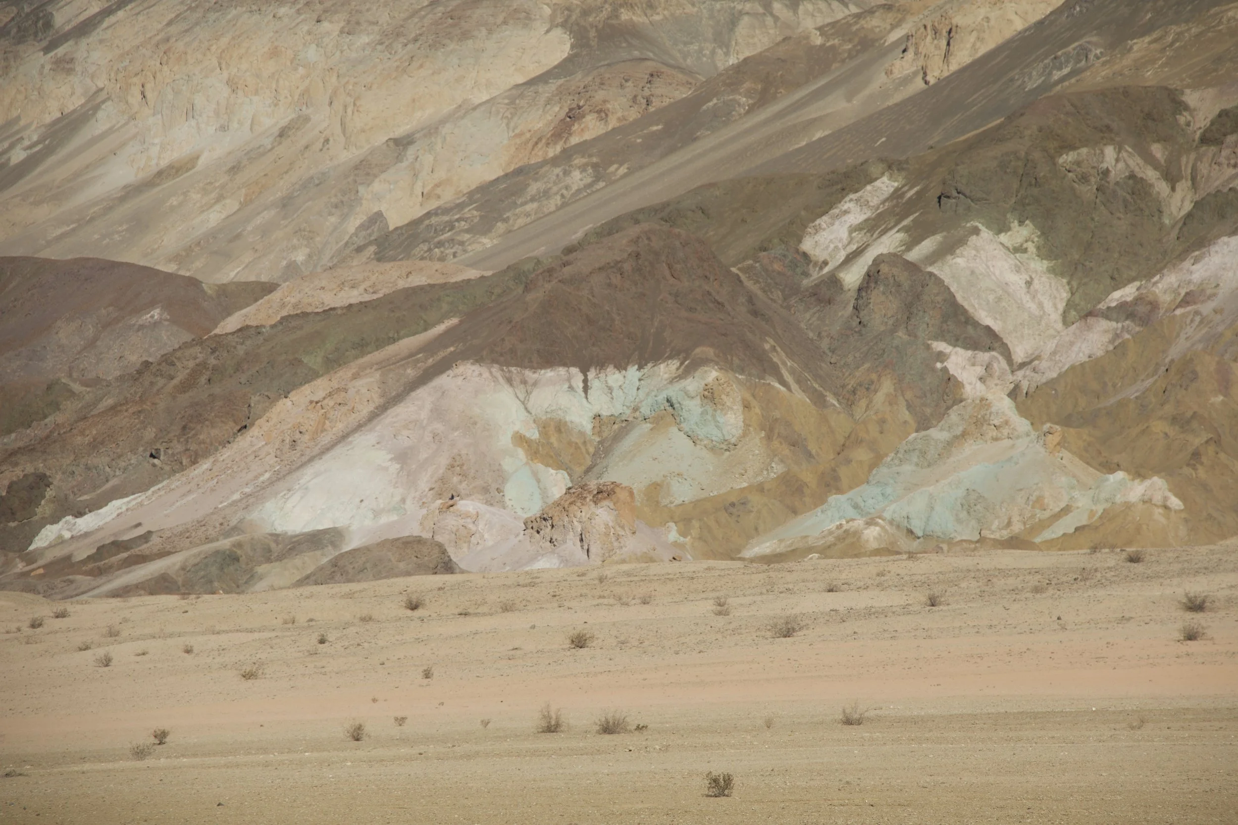
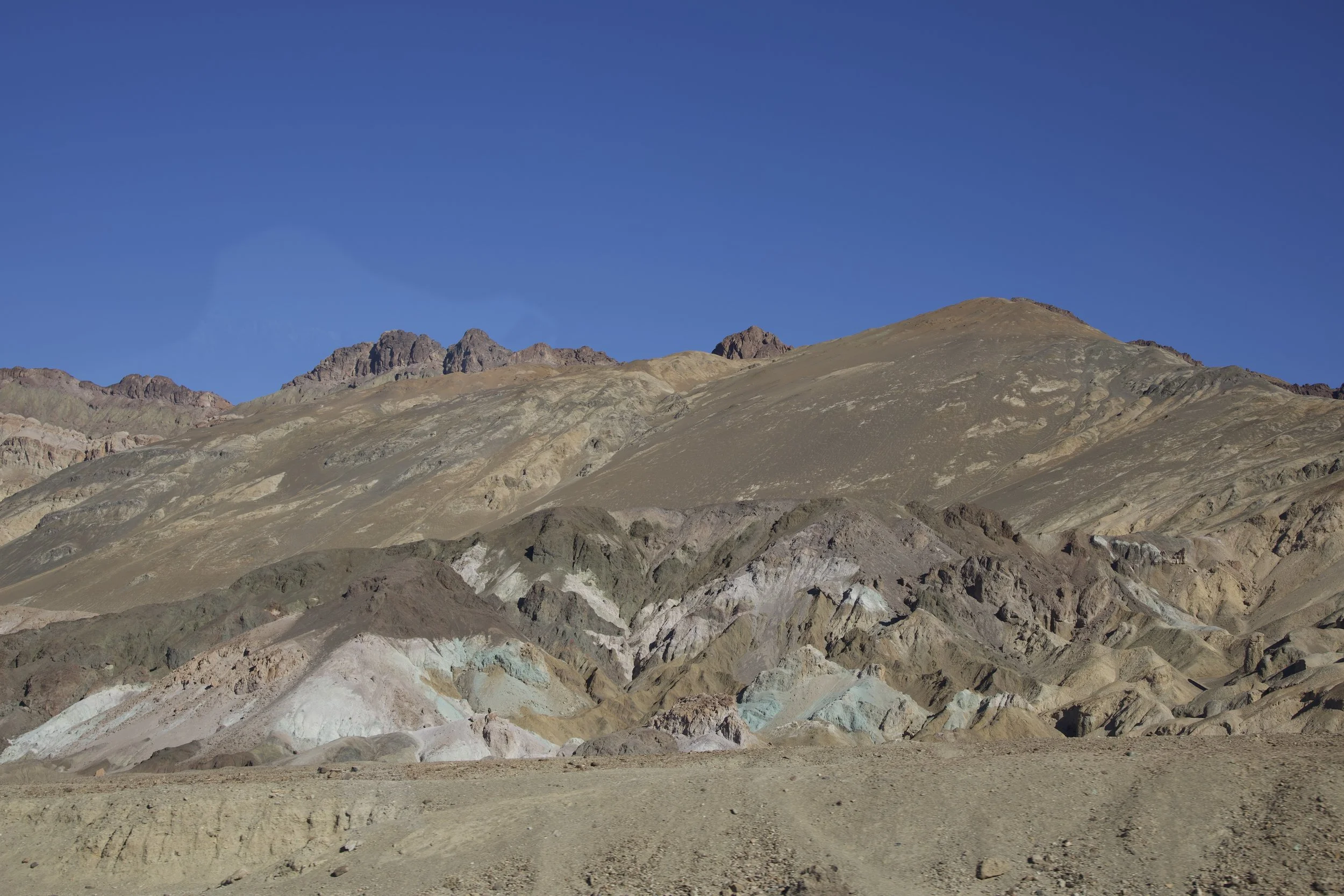
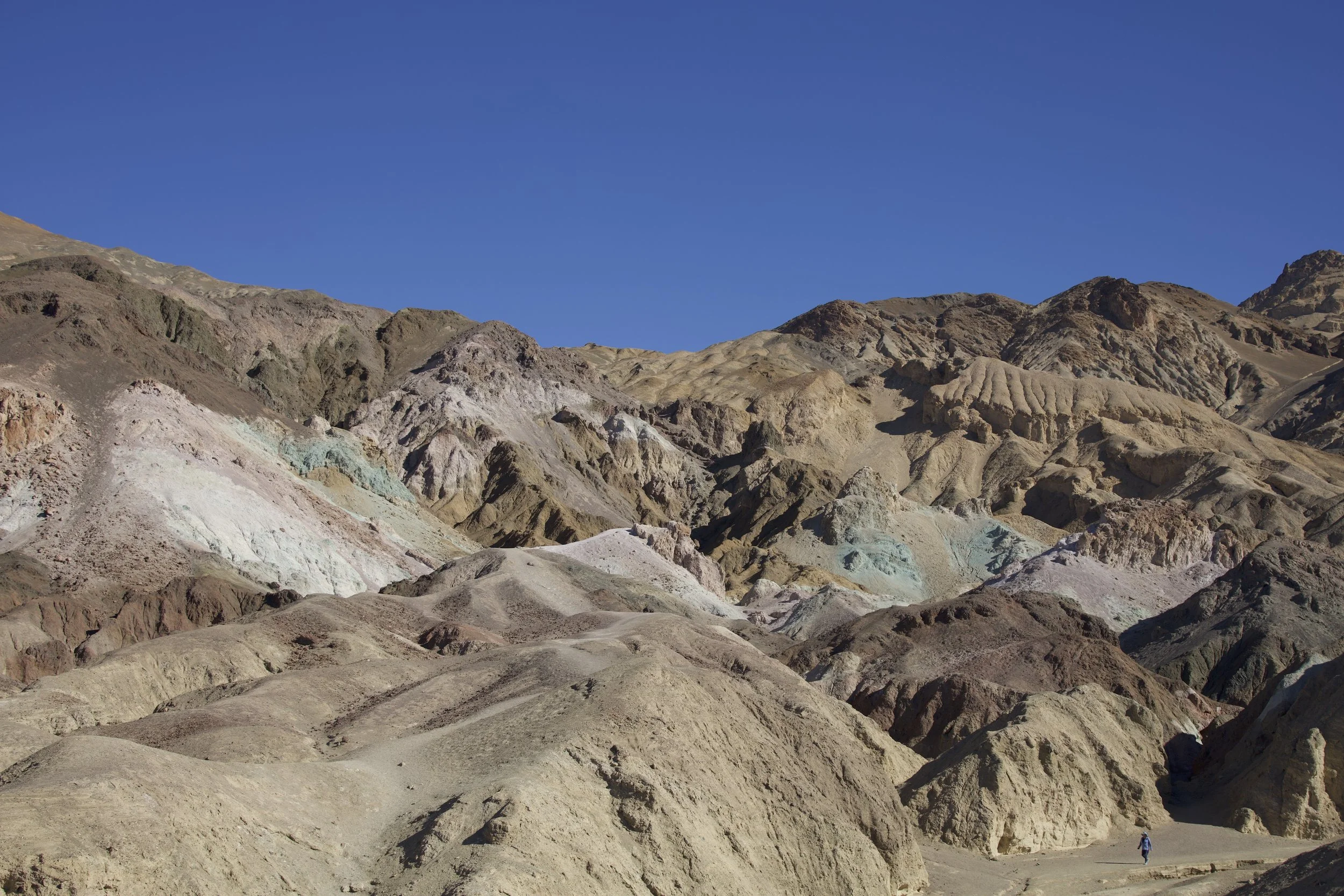
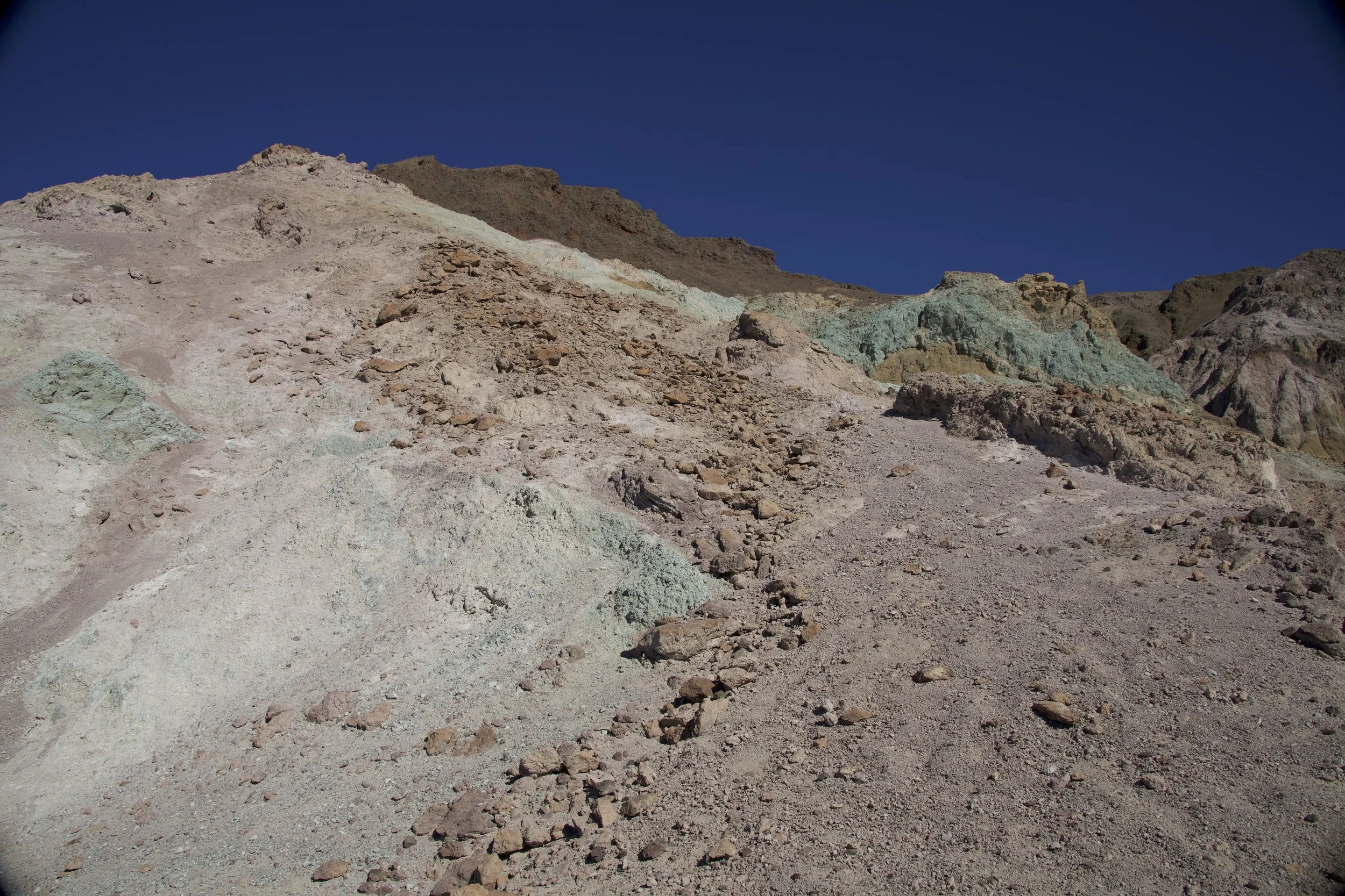
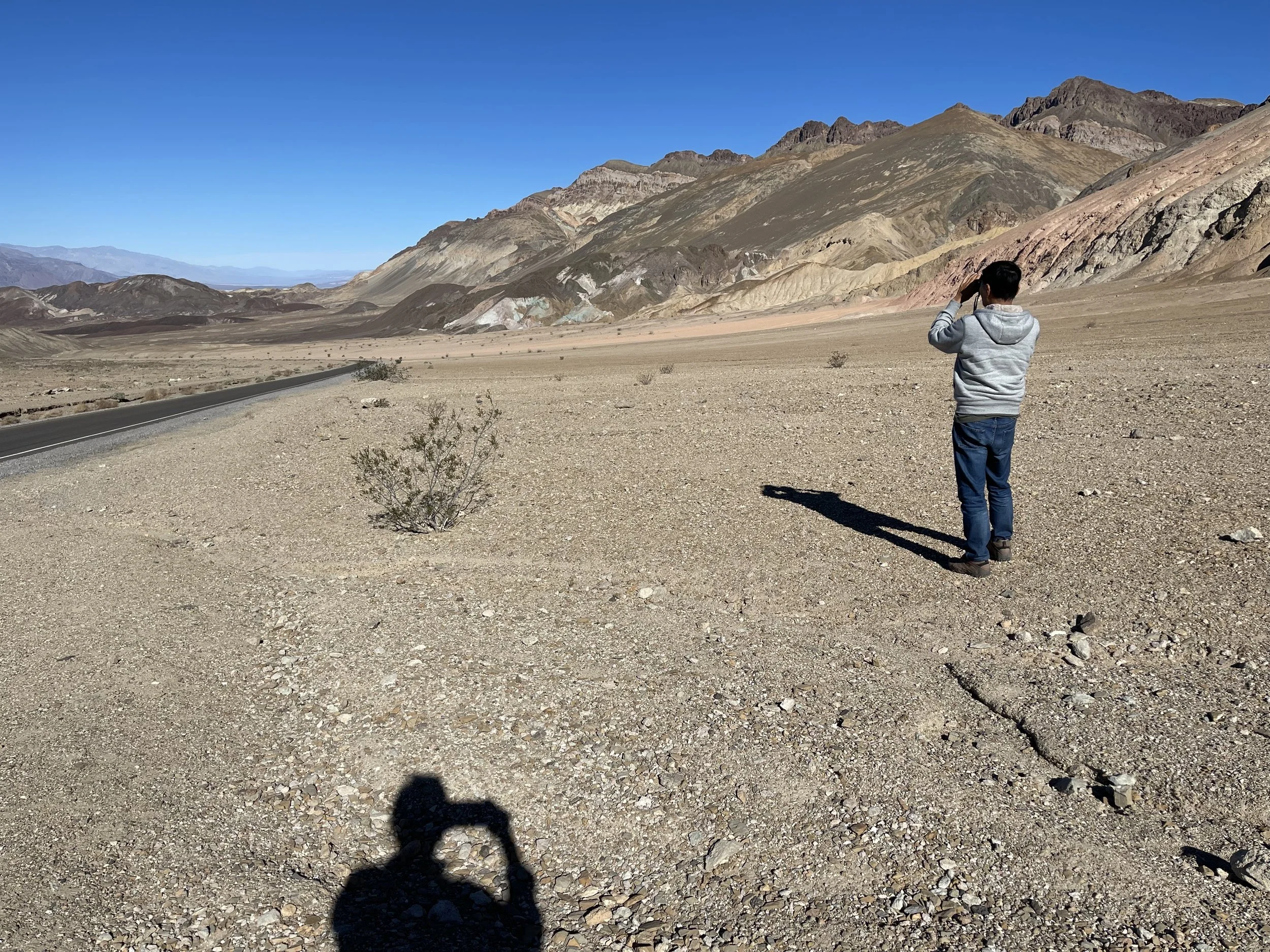
N. now knew better than to exclaim “the worst national park…” prematurely. And our introduction to Death Valley by the scenic drive through Artists Palette (9.7 miles) quickly established the specialness of this park. No singular, uniform colors for these mountains and hills; here, only multi-hued, kaleidoscopic colors would do: beiges, golds, browns, greens, pinks, red, sometimes all in one mountainside. “Artists Palette” is not a bad name, but I called it “Rainbow Sherbet” in my head; they looked like gigantic mounds of half-melted ice cream in all kinds of flavors: chocolate, strawberry, pistachio, vanilla, Neopolitan. Although we had planned for a quick drive, it was impossible to not linger.
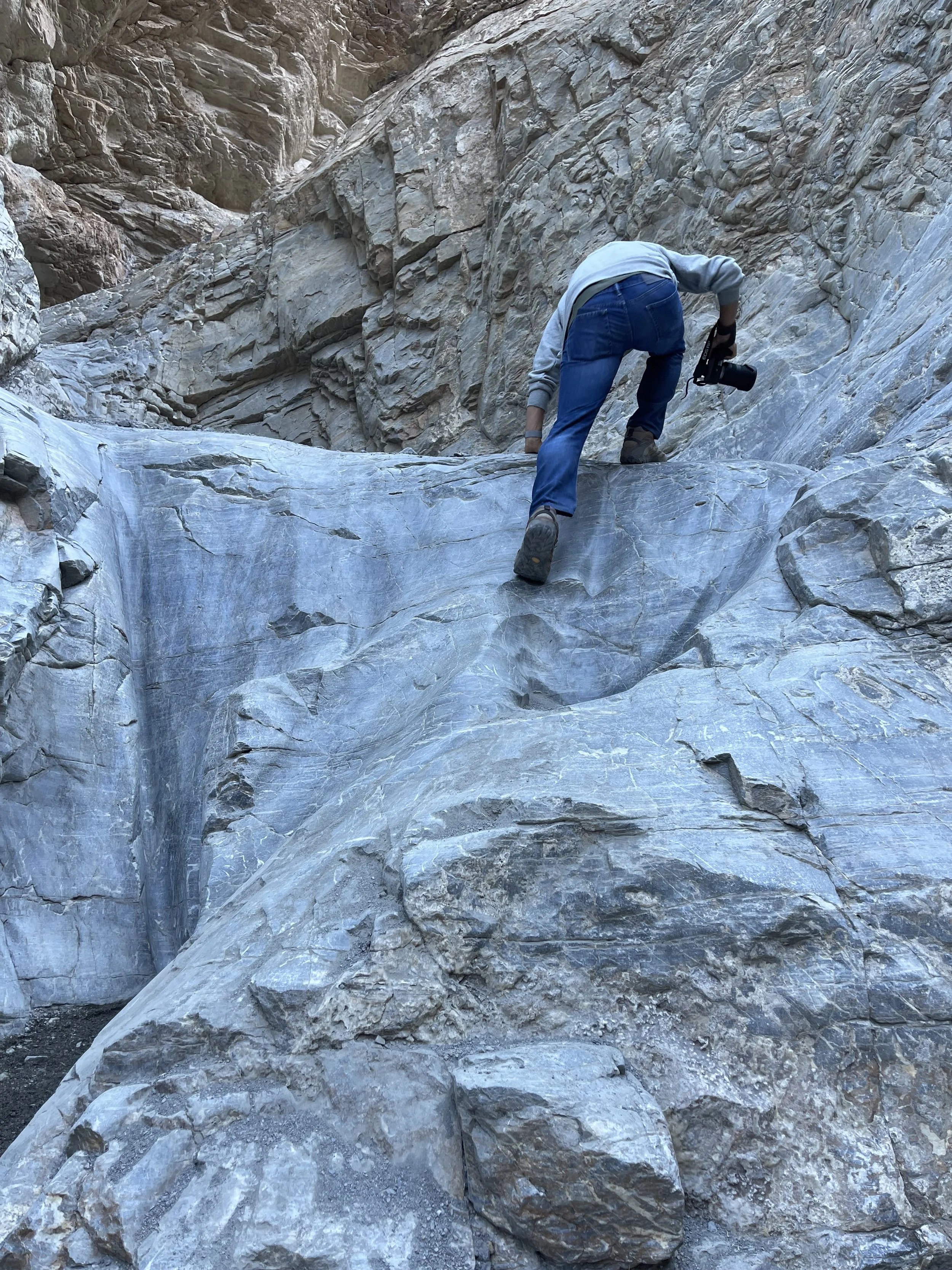
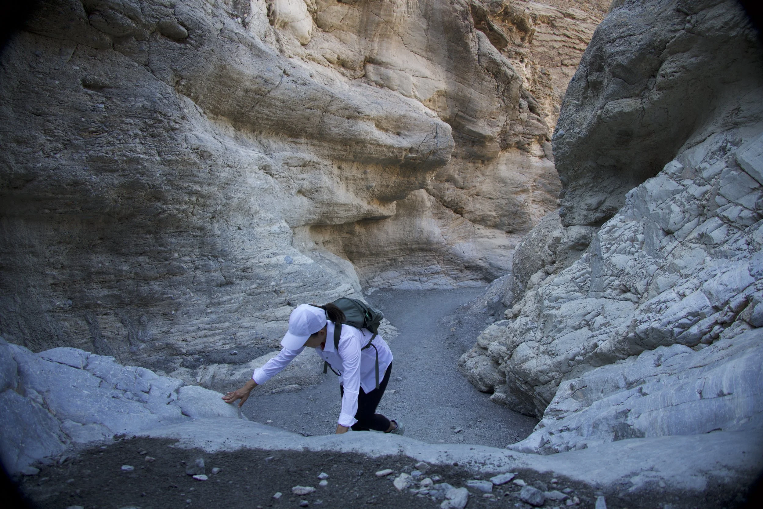
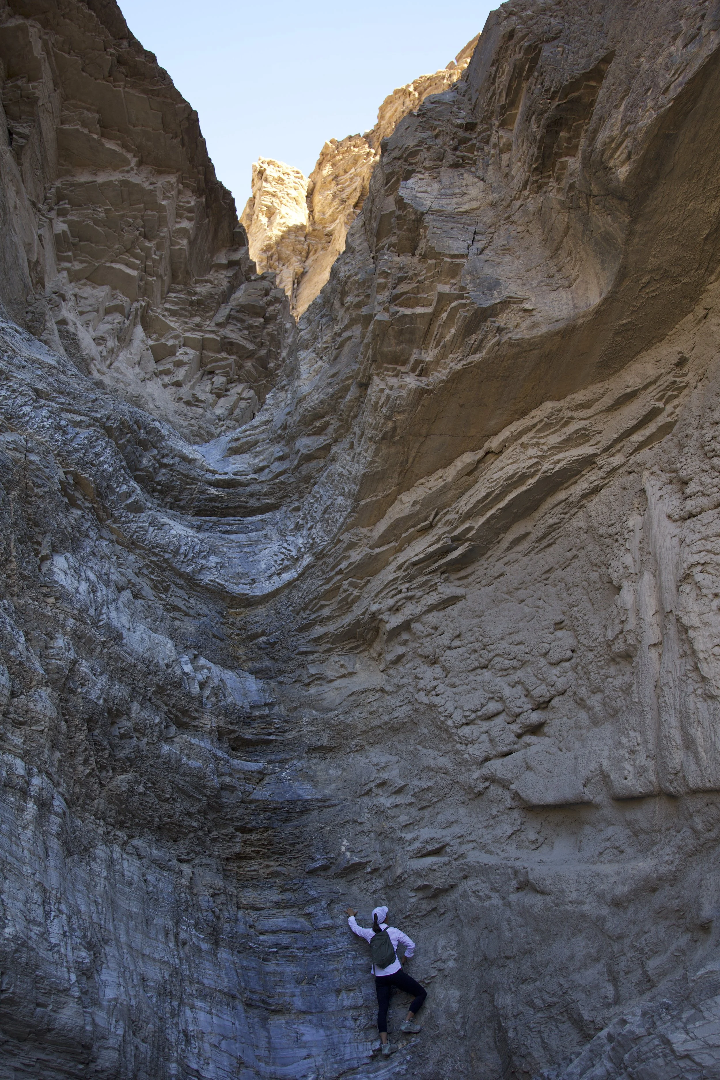
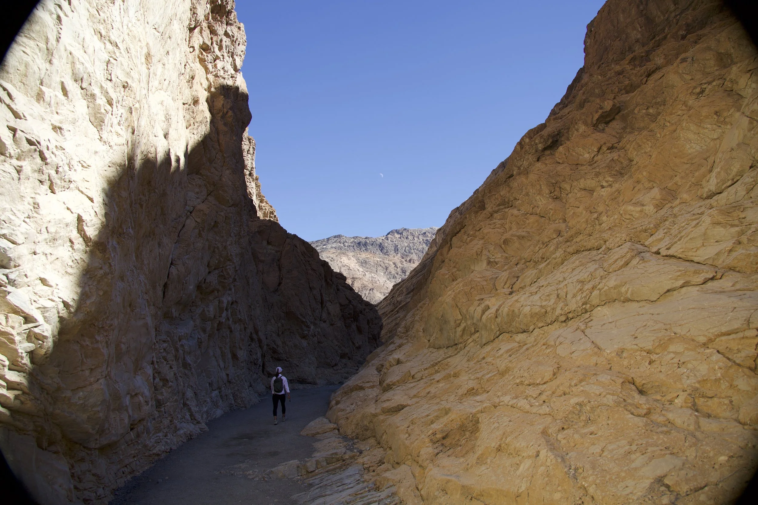
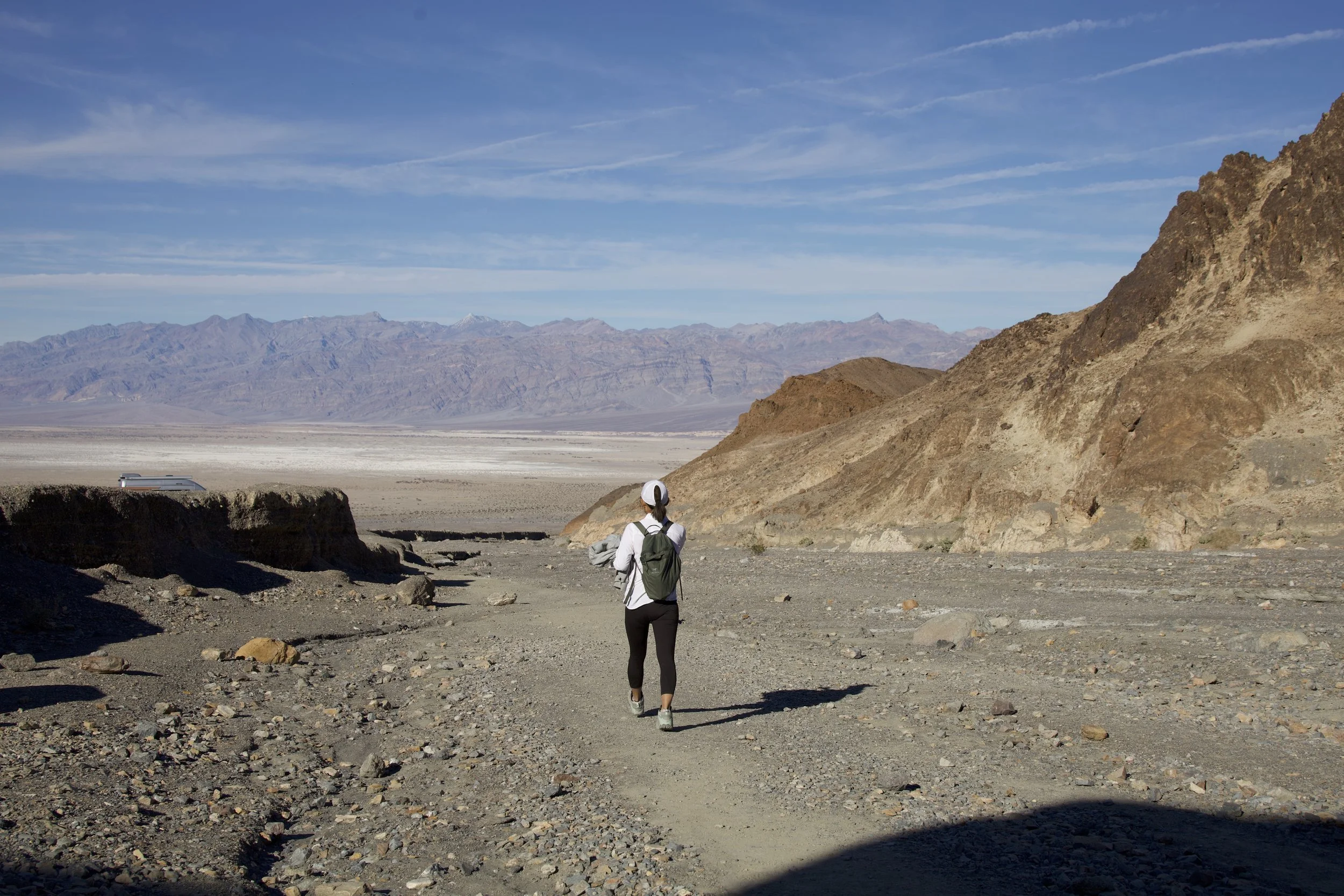
Next, the Mosaic Canyon Trail (out-and-back, 3.3 miles) whose trailhead could be reached only if we were brave enough to negotiate its access road made up of 2.4 miles of crunchy gravel . At the visitor’s center, a park ranger had described the road as a “washboard.” Again, as is becoming the running theme in this national park (henceforth, “Death Valley National Park Nomenclature,” or DVNPN), they don’t mince words here: a “washboard” road meant that our poor van had to negotiate a path that felt as if someone spread rock gravel on the road and then decided that it was not bumpy enough, so they used a giant rake to dig trenches perpendicular to the road direction; for fun, they also threw in larger boulders in random spots. And, voila! Even more alarming: as I was driving on this ‘road’, N. voiced reservations about it, something that, given his usual fearlessness about things, gave me pause. More than once, we discussed turning around.
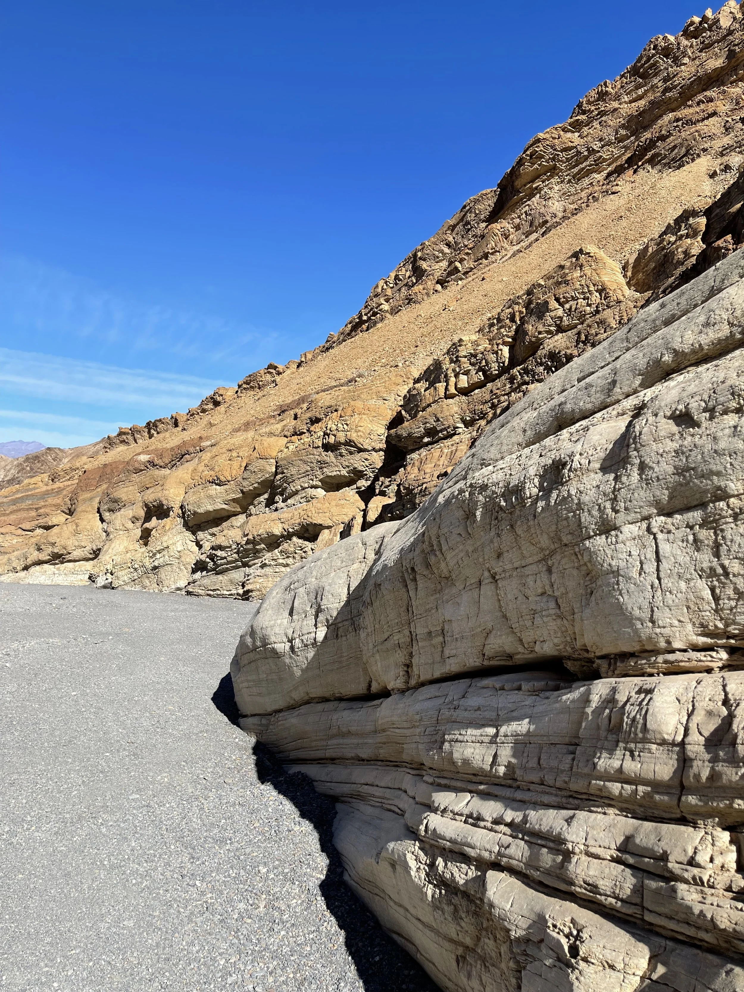
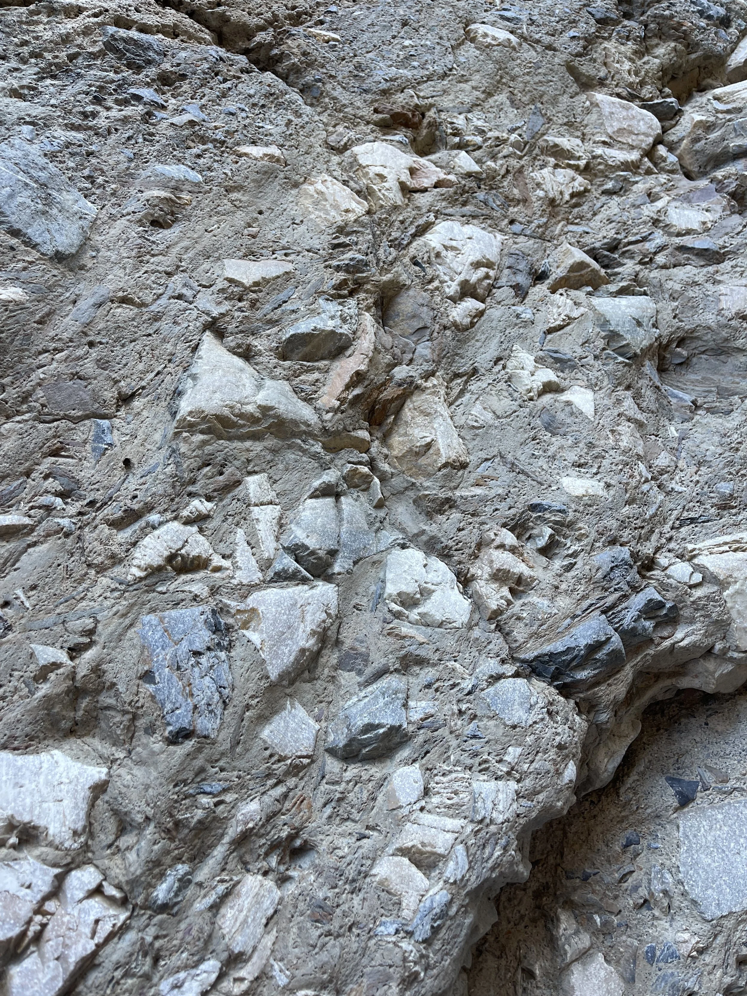
Mosaic Canyon (ala DVNPN) is made up of layers of rocks and silt of myriad types, all lumped together into one colorful mass, a humongous dough interspersed with rocks of all shapes and colors and sizes. Obviously, no one had to work too hard to come up with the name.
It’s hard to think of rocks as “living things” but a hike through the canyon easily proved the point. We could see gigantic boulders which had obviously broken off from ledges above, filling the canyon, which then got washed out by subsequent rains and floods. Wash-rinse-repeat, and the process filled and re-filled, carved and re-carved the canyon. Hiking this trail was fun because of a good number of rock scramblings required, which had the effect of making me feel playful and carefree… in Death Valley!
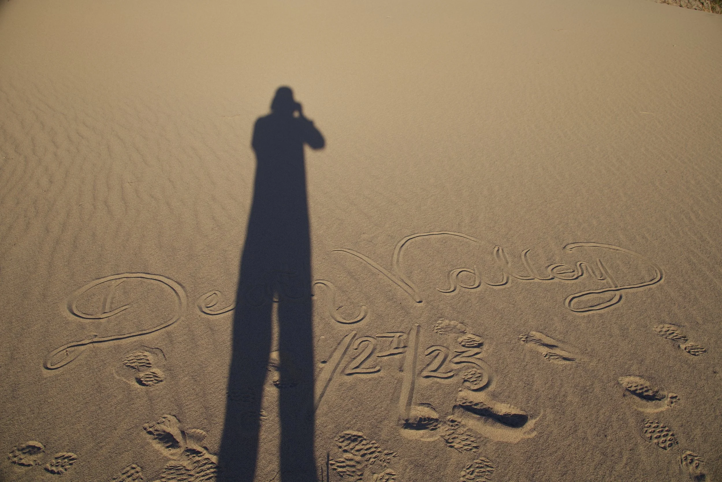
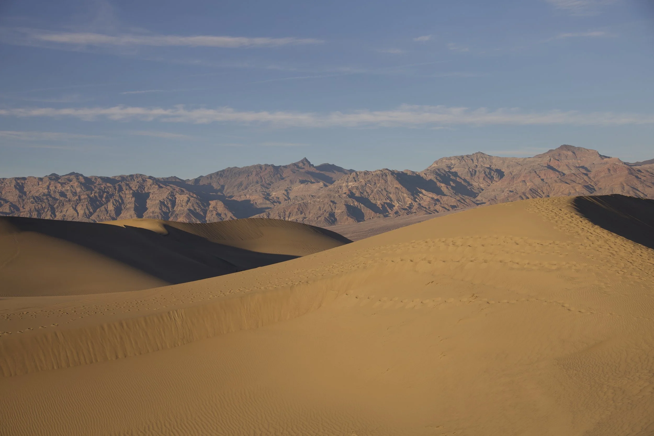
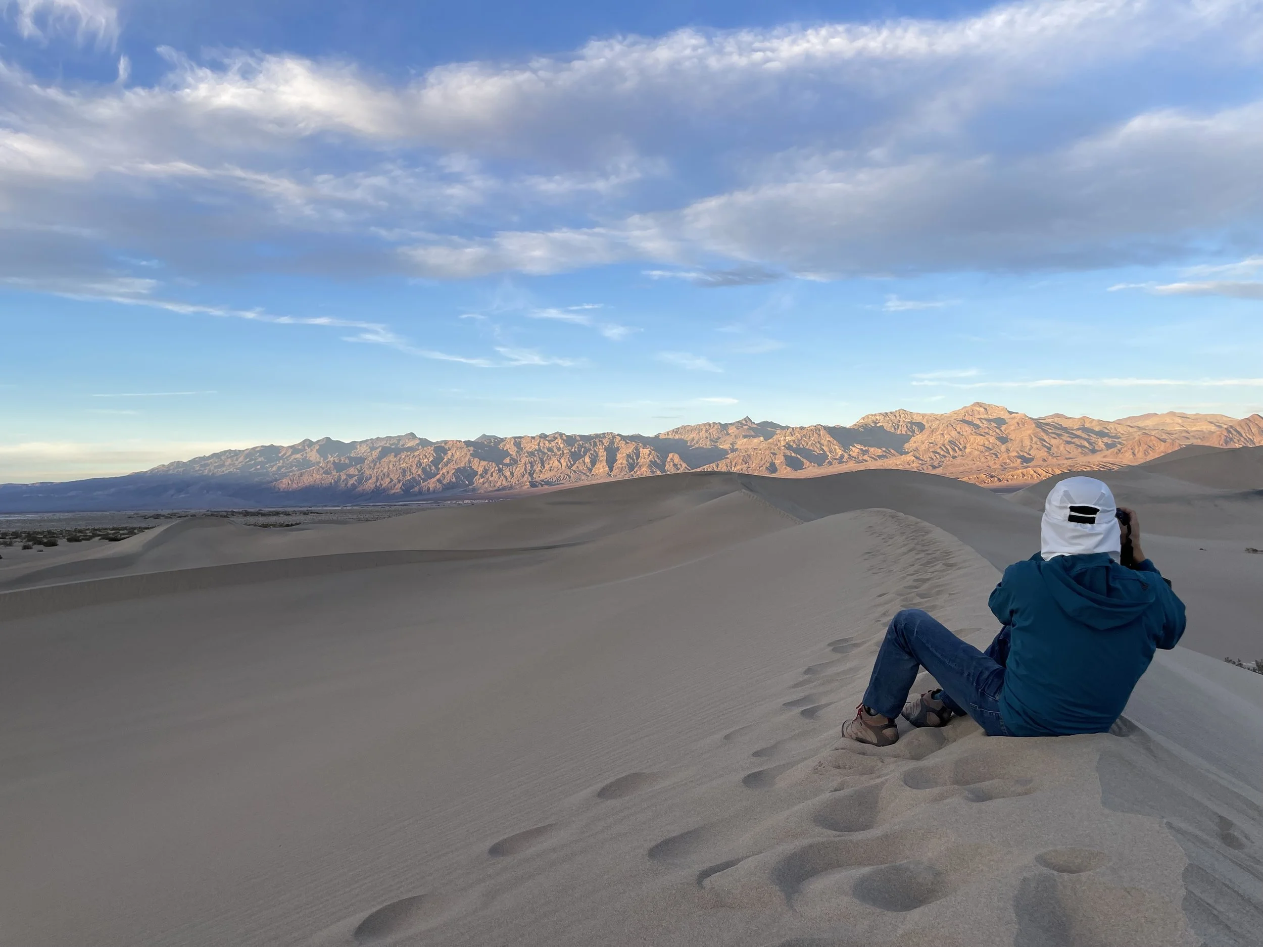
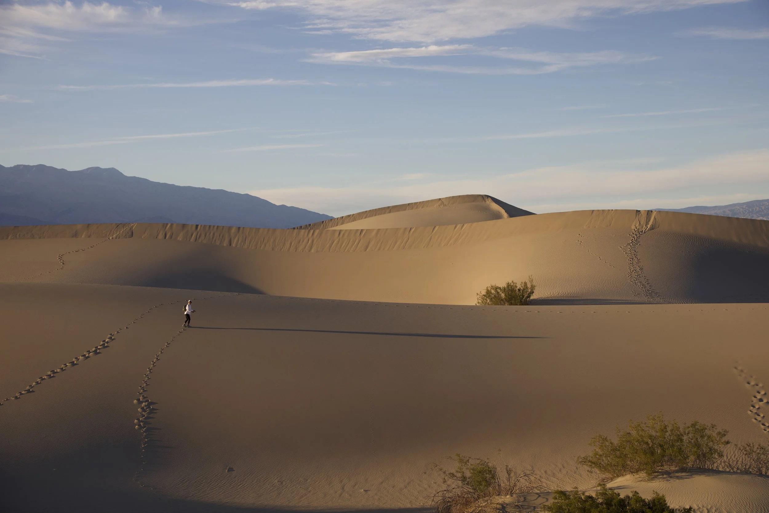
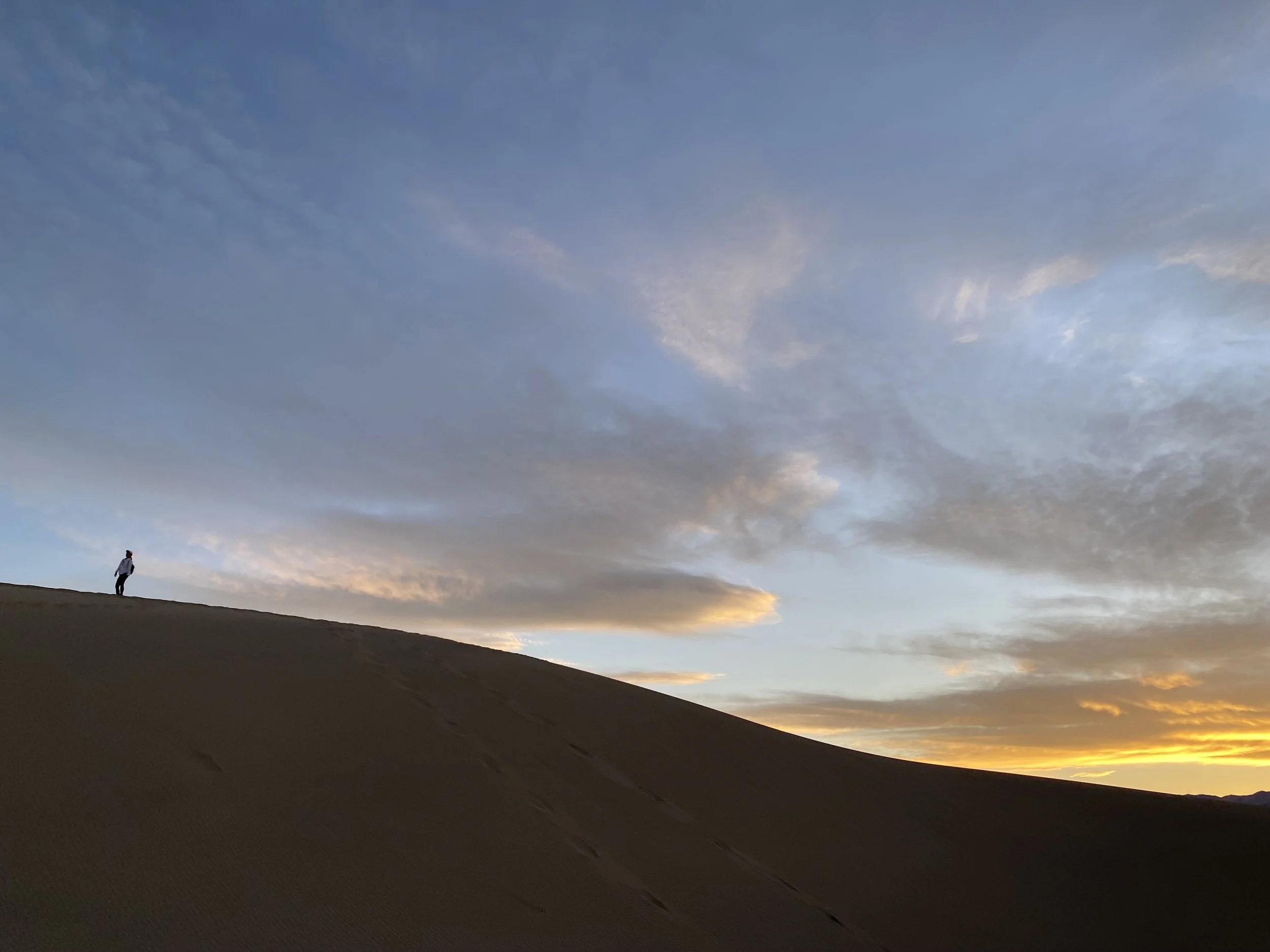
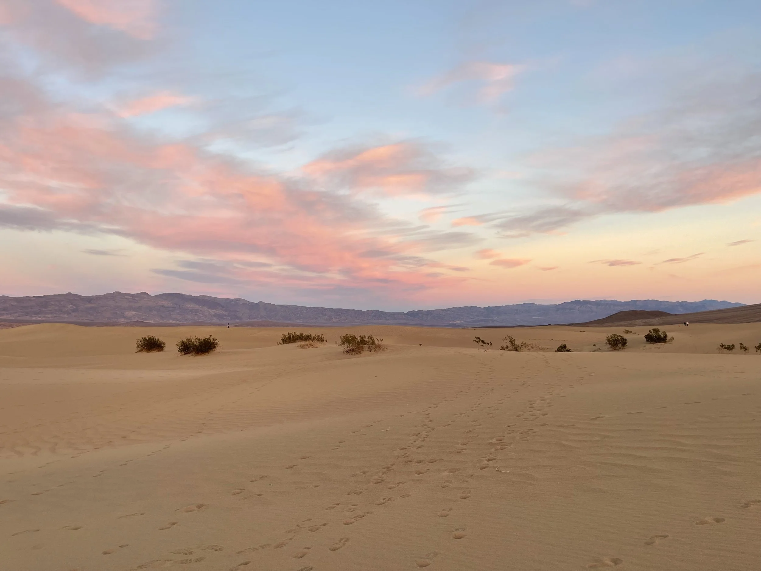
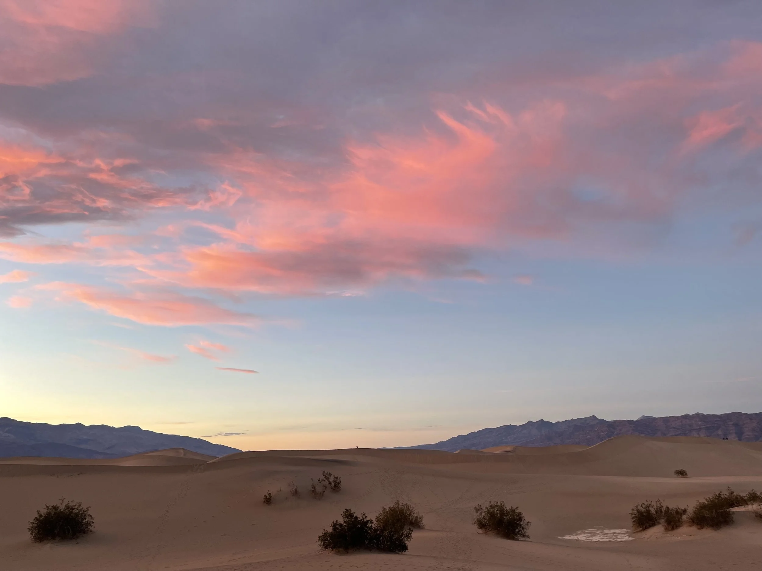
Last item in the schedule: a ranger-led Mesquite Dune Sunset Hike. Ranger Kate did a fine job, but N. and I were comparing these dunes to those at White Sands National Park, so we were a bit underwhelmed. These tawny-colored dunes were fine, but it felt different to see so many people around us. It was hard not to think of the whole thing as a very large litter box: we saw a discarded face mask, lots of pistachio shells, and footsteps in every direction. N. and I were hiking so diligently to get away from other people that we actually reached the other side of the dunes.
By the end of the day, our bodies sent us a stern memo and let us know that we had done too much in one day.
***


