White Sands National Park, NM (Part 1/2)
We must have acquired a superpower because we now can see for miles and miles…
When we first drove through Texas, I remember thinking — and then writing — that the flatness of the land was a novelty.
I take it back.
The flatness of the land in New Mexico, especially around the Alamogordo area, was a novelty. When we drove to Oliver Lee Memorial State Park and settled in our camp site, I looked to the horizon and, from our campground at the edge of the Lincoln National Forest, I could see the San Andres National Wildlife Refuge — 80 miles away.
And because this was our second campground in a New Mexico state park, I want to take this opportunity to give the New Mexico’s Energy, Minerals, and Natural Resources Department and especially its Parks Division an enthusiastic shoutout. The campgrounds at both Brantley Lake (near Carlsbad Caverns) and now Oliver Lee Memorial Park (near White Sands) include features that demonstrate thoughtful anticipation of the needs of campers: sites with plenty of elbow room; comfort stations that are cleaned everyday (yes, I saw them cleaning every day); camp hosts and park rangers who patrol the grounds several times and are quick to offer their assistance. All for $14 per night. Bravo!
***
Obviously, there’s nothing white or sandy about this entry, but we wanted to first explore the area around our campground. After all, we were at the edge of the Lincoln National Forest. And hence the Dog Canyon Trail 106 (out-and-back, 10 miles). Alltrails rated the hike as “strenuous” and a reviewer called it “hairy”, which I believe is a technical term. N. and I decided that we had nothing to prove, so we planned to hike until a cabin at Mile 3 and turn around.
I’ve said it before: there are trails and there are trails; this was the former.
The first 0.5 miles of the trail were boulders and rocks and pebbles; large, medium, and small, all in a steep incline. Hiking poles were useless, since there was nowhere to anchor them. Another challenge was the fact that the trail was narrow in places, and one got a really good look at the sheer drop below. I avoided looking back to the path I had just climbed and, inwardly, I was already dreading the return hike.
The prize for braving this “hairy” trail was absolutely gorgeous views of the Sacramento Mountains. They looked as if they were nature’s crepe cake: one could see distinctive layers, one stacked on top of another. In certain sections, it looked as if a giant had taken a spoon and poked at the slice because, in a few sections, the layers looked as if they had been nudged upward — I’m sure there’s a more scientific and geological explanation, but I must have been hungry, so the food metaphor will have to do. We stopped often to admire the views, take pictures and, to be honest, catch our breath.
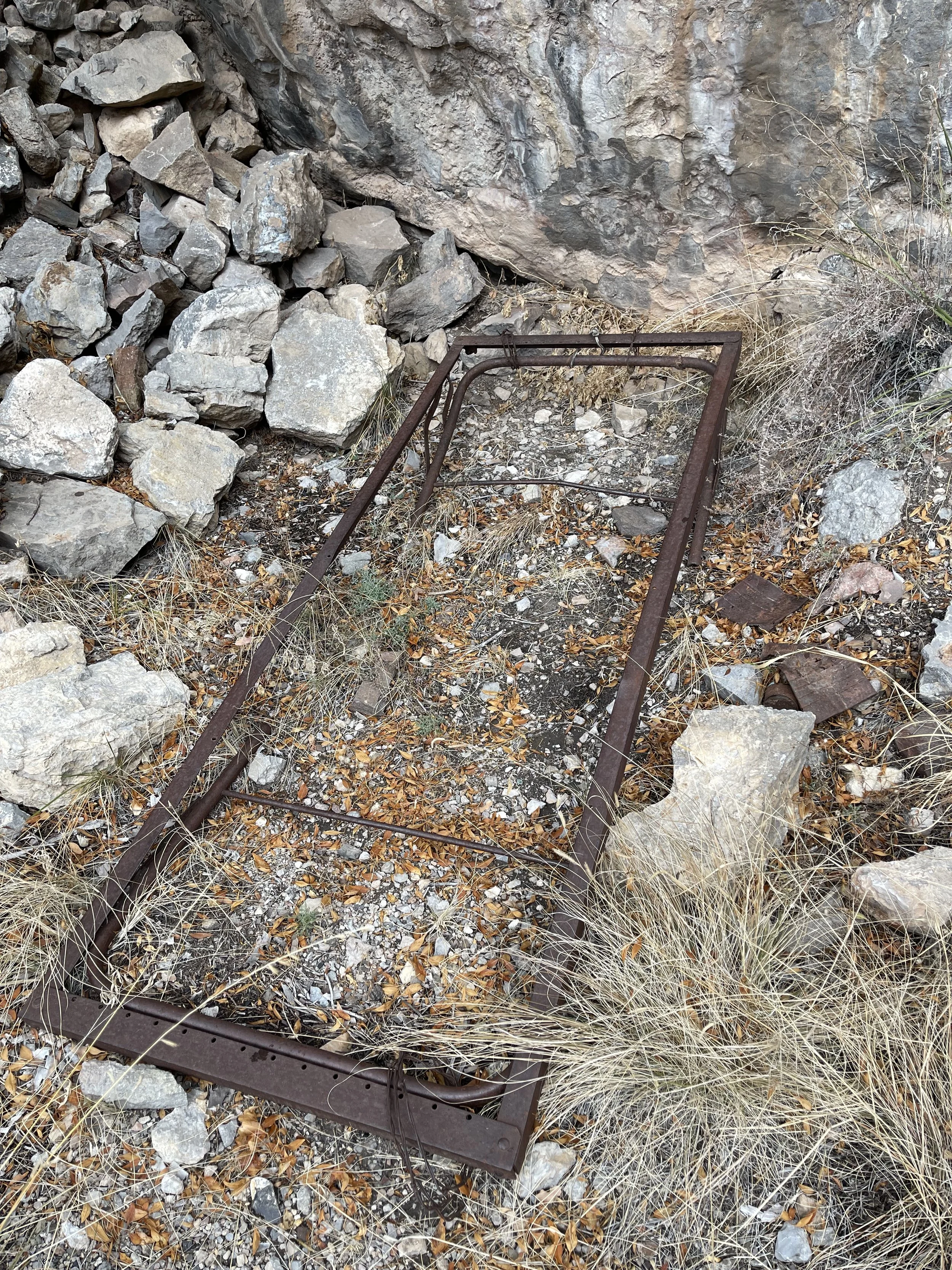
We arrived at the Line Cabin at around Mile 3, a rustic structure that took advantage of a large bolder and used it as one of the walls of the rough room — somehow that seemed like cheating. The other walls were made of smaller boulders that the runaway/misanthrope/loner had found in the area. The one piece of furniture he lugged all the way up the mountain was a bed frame — surprisingly short — that lay rusted inside the cabin along with a few disintegrating cans of food. What stories would this person tell? We took the cabin as a sign to turn back — after this point, a trail reviewer mentioned that he had fallen twice; we certainly didn’t want to do that. We ate our picnic lunch in a meadow close by and headed back.
The hike down the mountain was easier because it was, well, downhill, but because it was downhill, the views led to mild panic at the narrowness of the trail and the expansive views. In the last half mile we didn’t hike as much as slowly nudge ourselves down the mountain on our behinds. There and back again — 6 miles. We were rewarded with a beautiful sunset.


